The old and the "new" Stryn Mountain Road
The Grotli hotel stands at a crossroad. If you're driving from the east (Otta), one choice is to continue right ahead to the next crossroad and then go left on the "new" (1978) Stryn Mountain Road, or continue right ahead to Geiranger. Or do as we did, turn left here on Grotli, to the Old Stryn Mountain Road.
(2015-09-11)
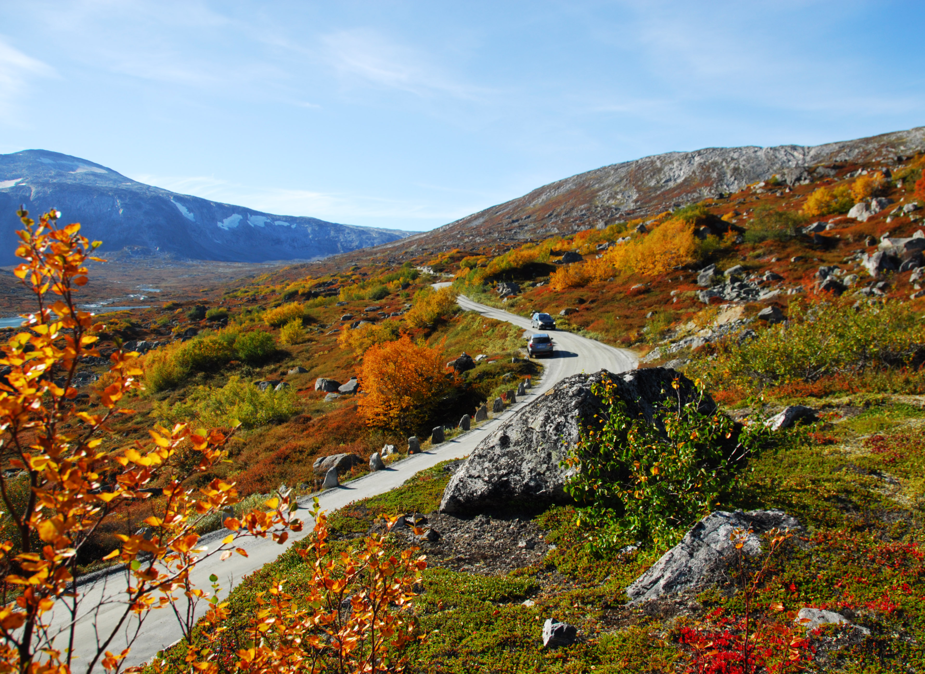
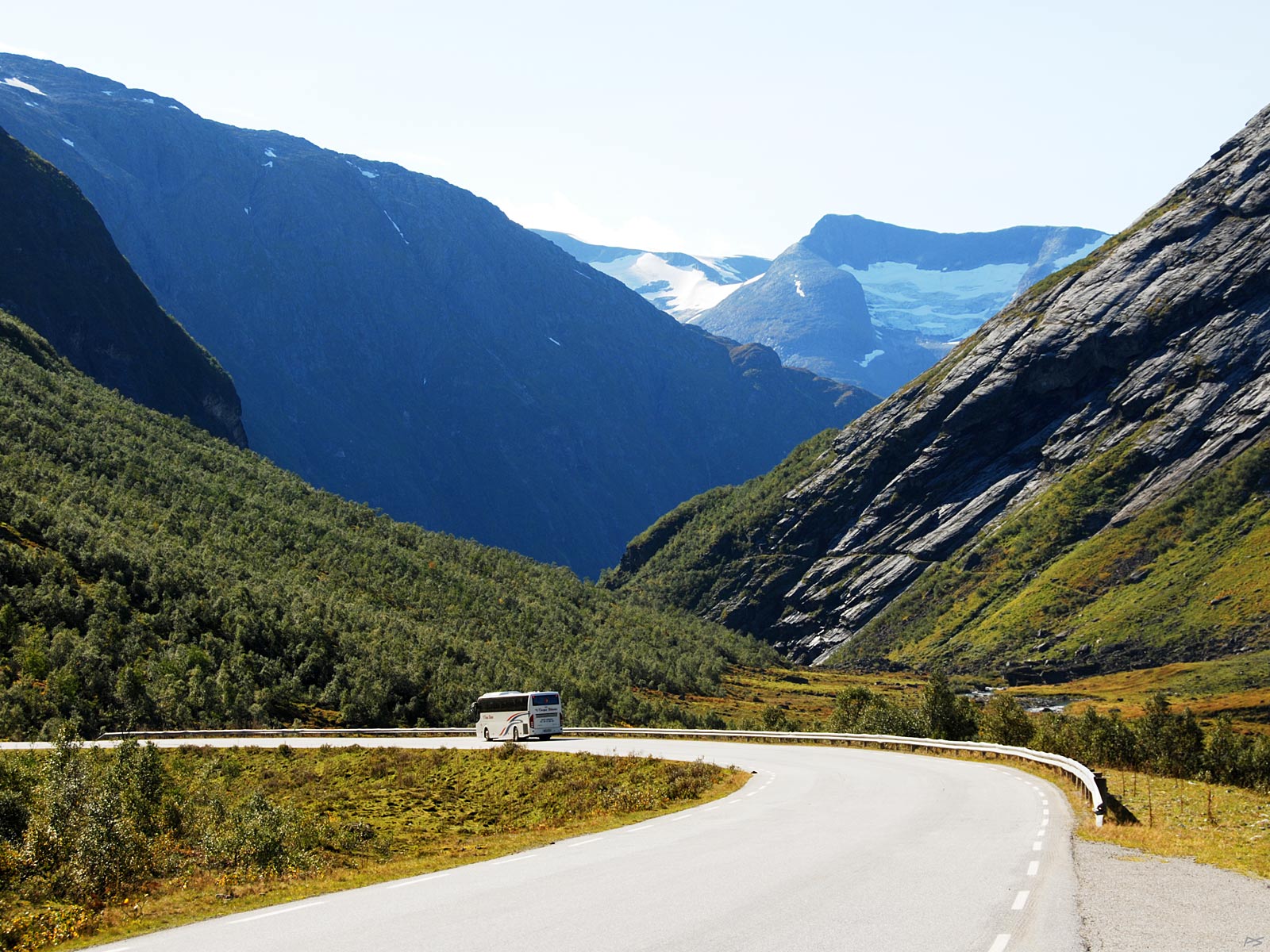
The Old Stryn Mountain Road is a national tourist road and open only during the summer. Most of it is also a graveled road as it has been since it was finished in 1895.
(2014-09-14)
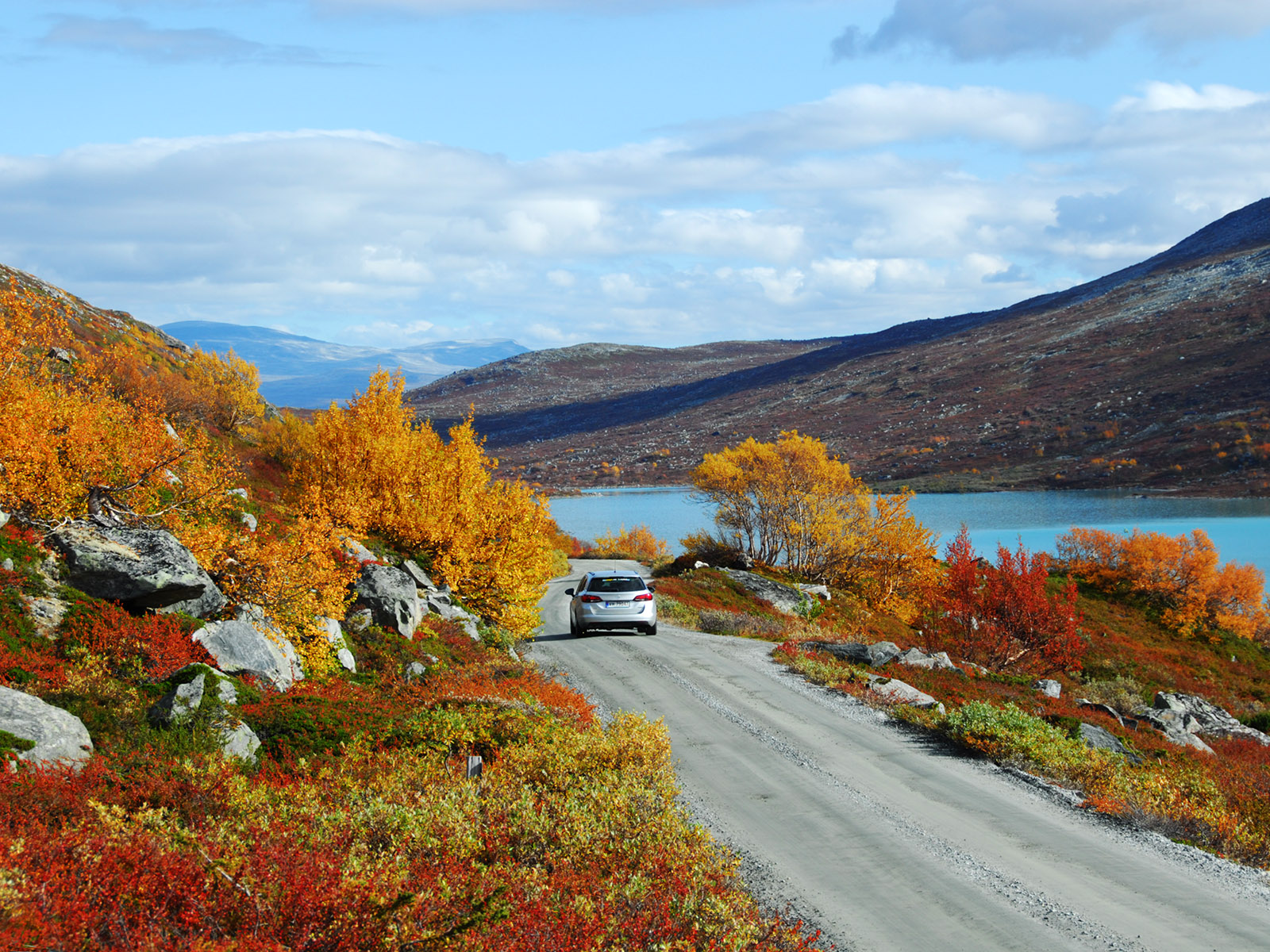
Several years we have chosen to go her in autumn to enjoy the colours.
(2014-09-14)
(2014-09-14)
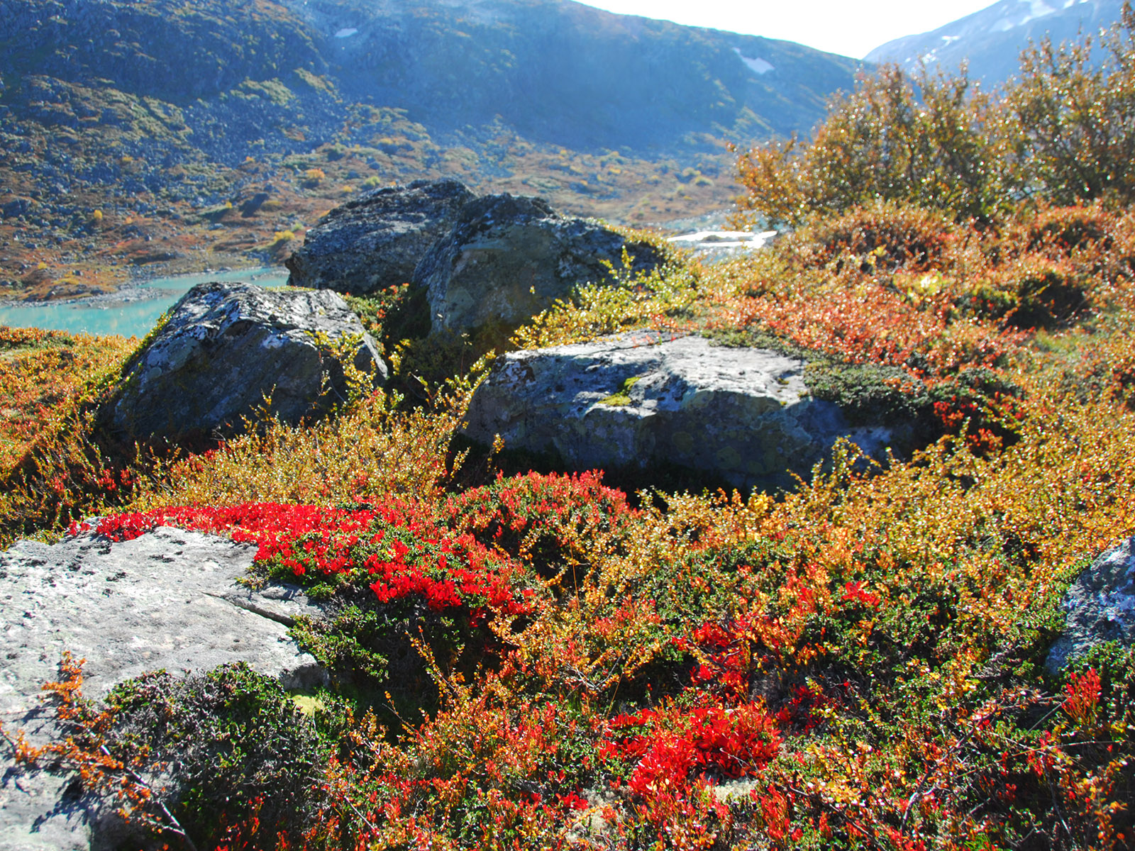
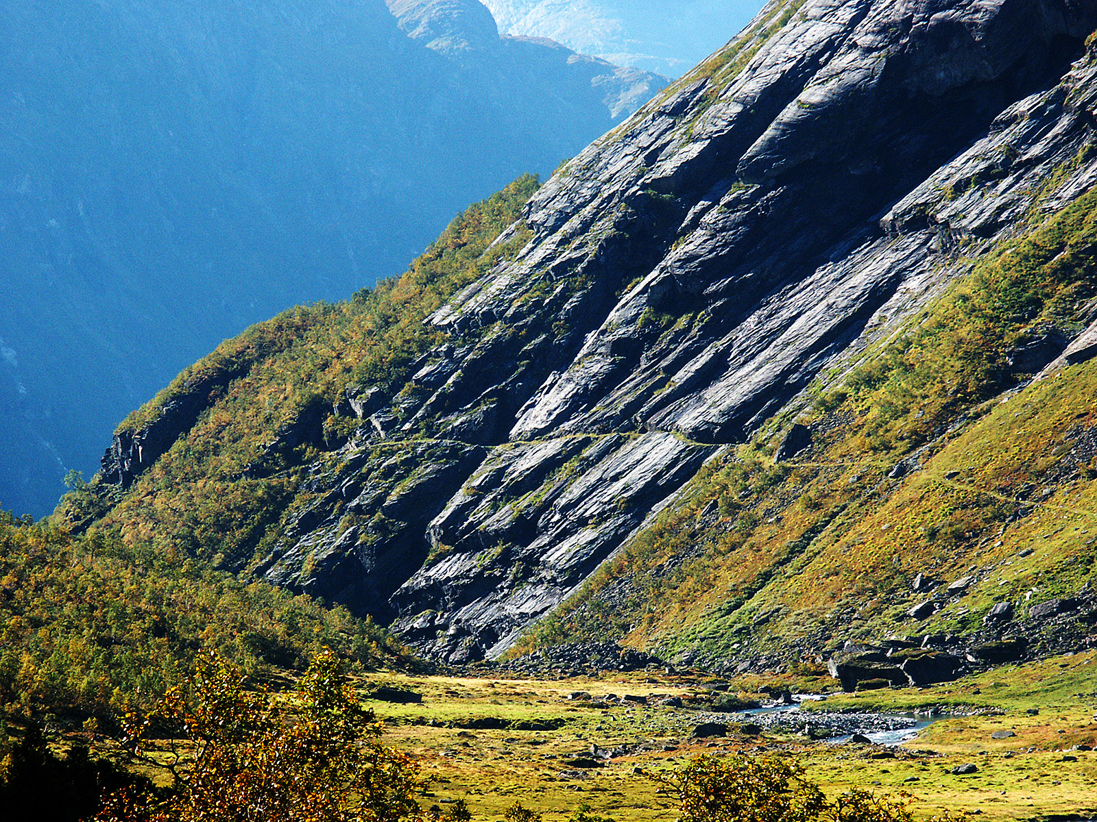
The red colour in front is due to Arctous alpina, alpine or black bearberry.
(2014-09-14)
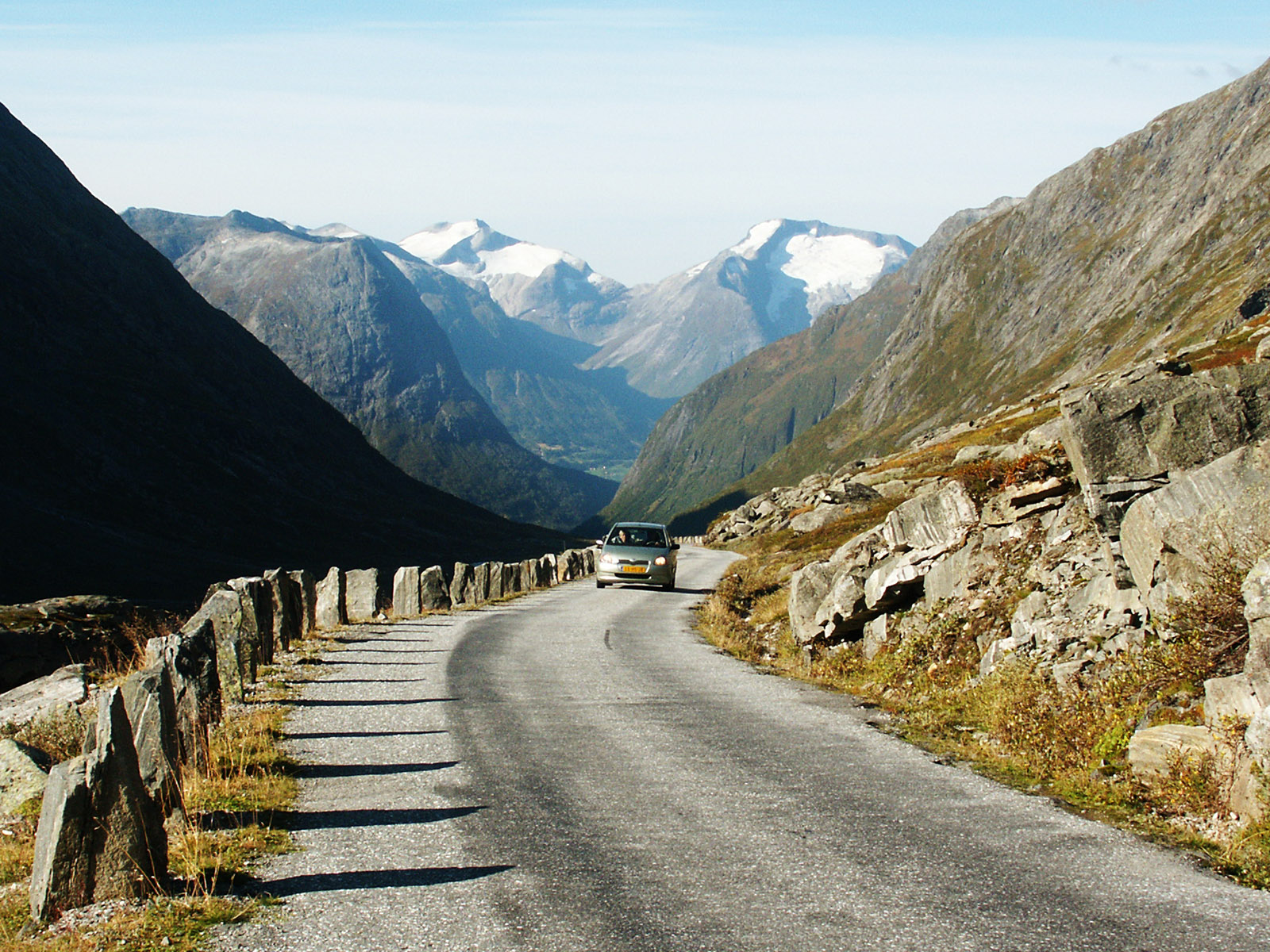
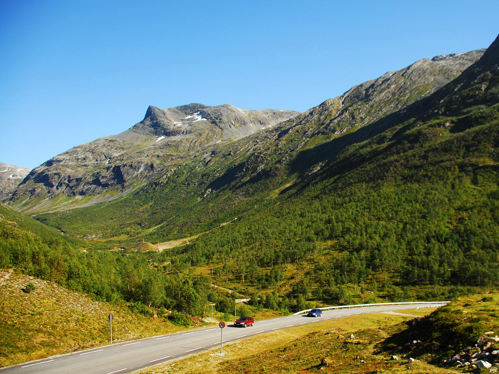
Starting the descent to Stryn. The left snow-capped mountain is Skåla, accessible from Loen.
(2003-09-11)
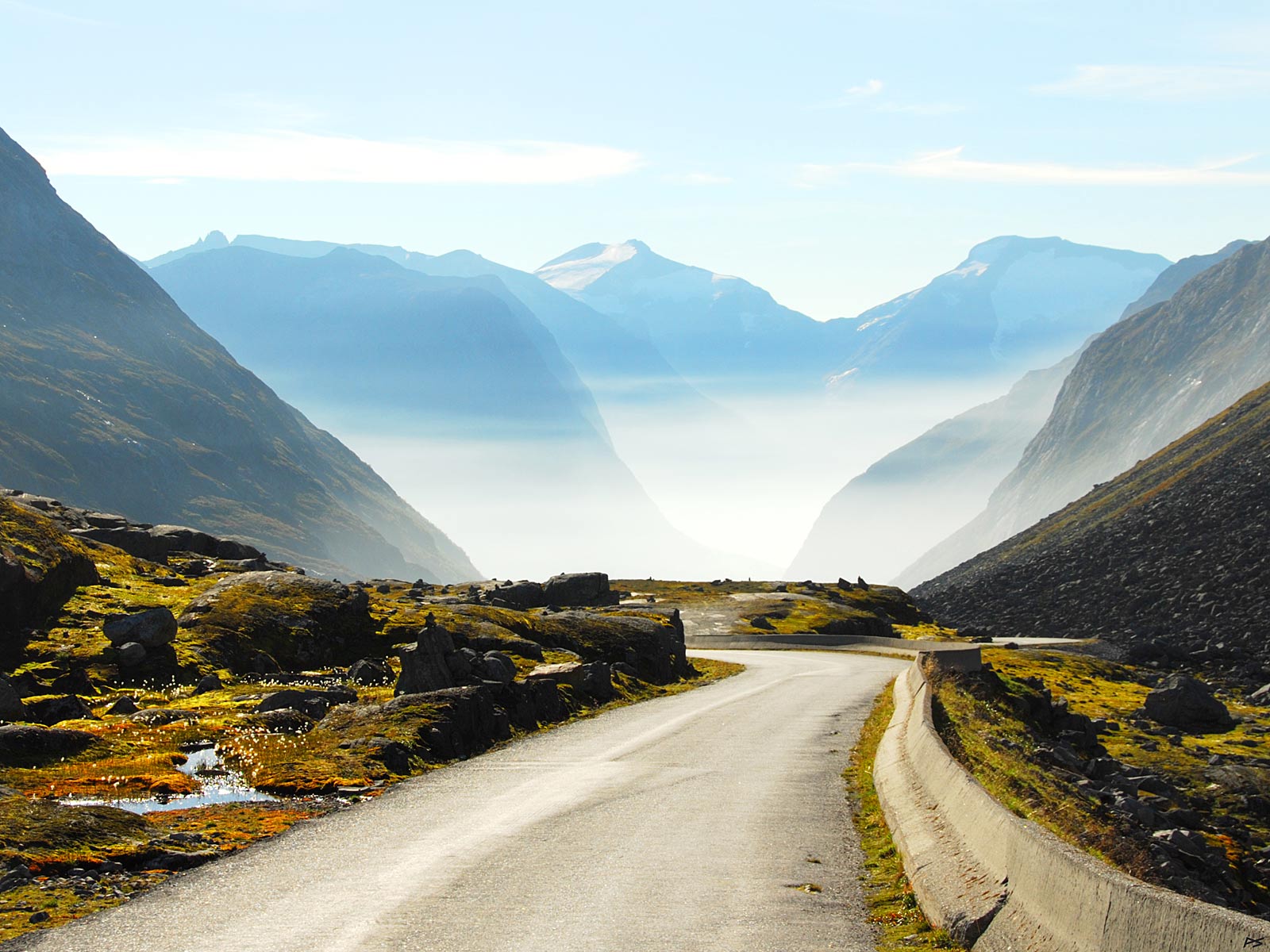
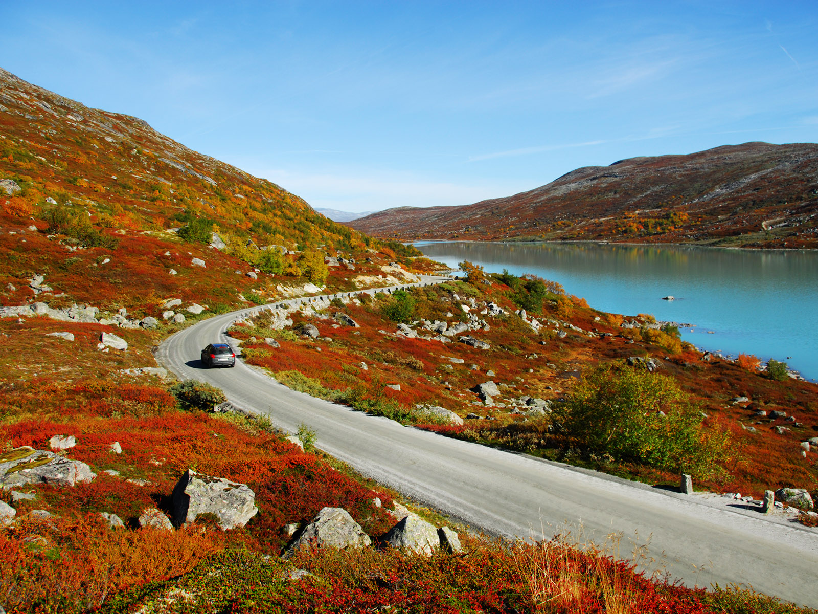
Descending continued (we have been above 1100 metres). It's autumn, the air is moist and mist often develops.
(2014-09-14)
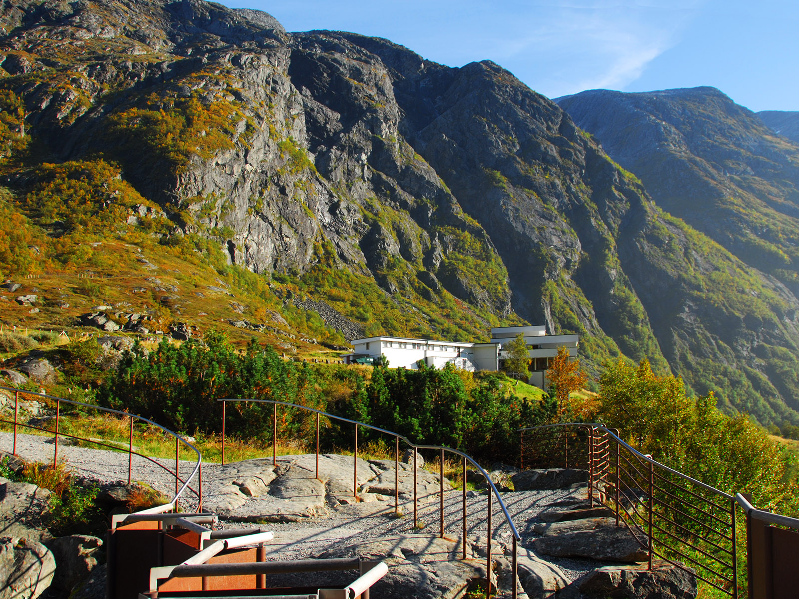
Videseter. The picture is taken from the top of the 60 meter Vide Waterfall, where tourist often come. The Videseter Hotel near the picture centre.
(2014-09-14)
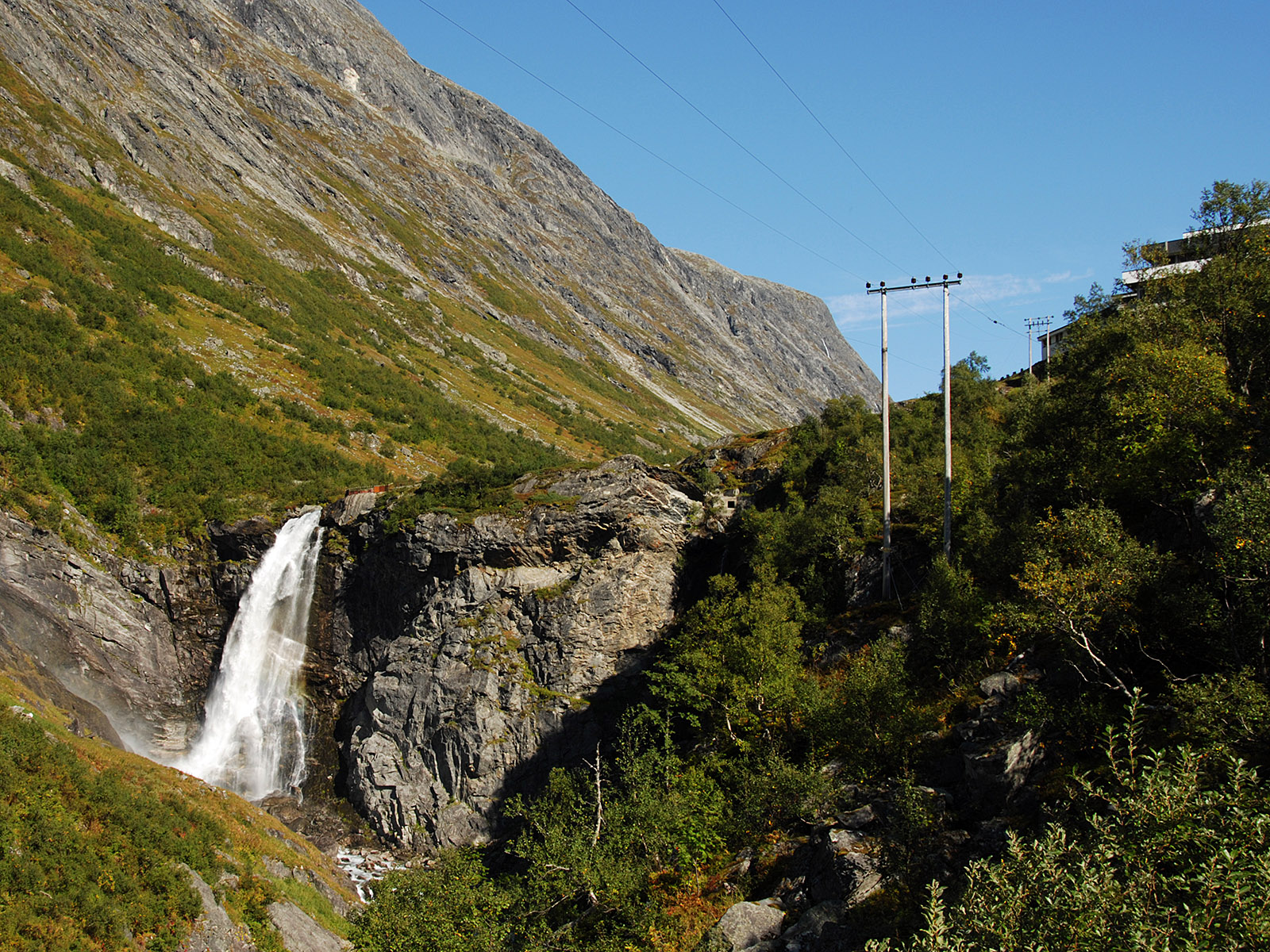
Videseter. The waterfall and a part of the hotel seen from below. The height of the waterfall is roughly sixty metres.
(2008-09-12)
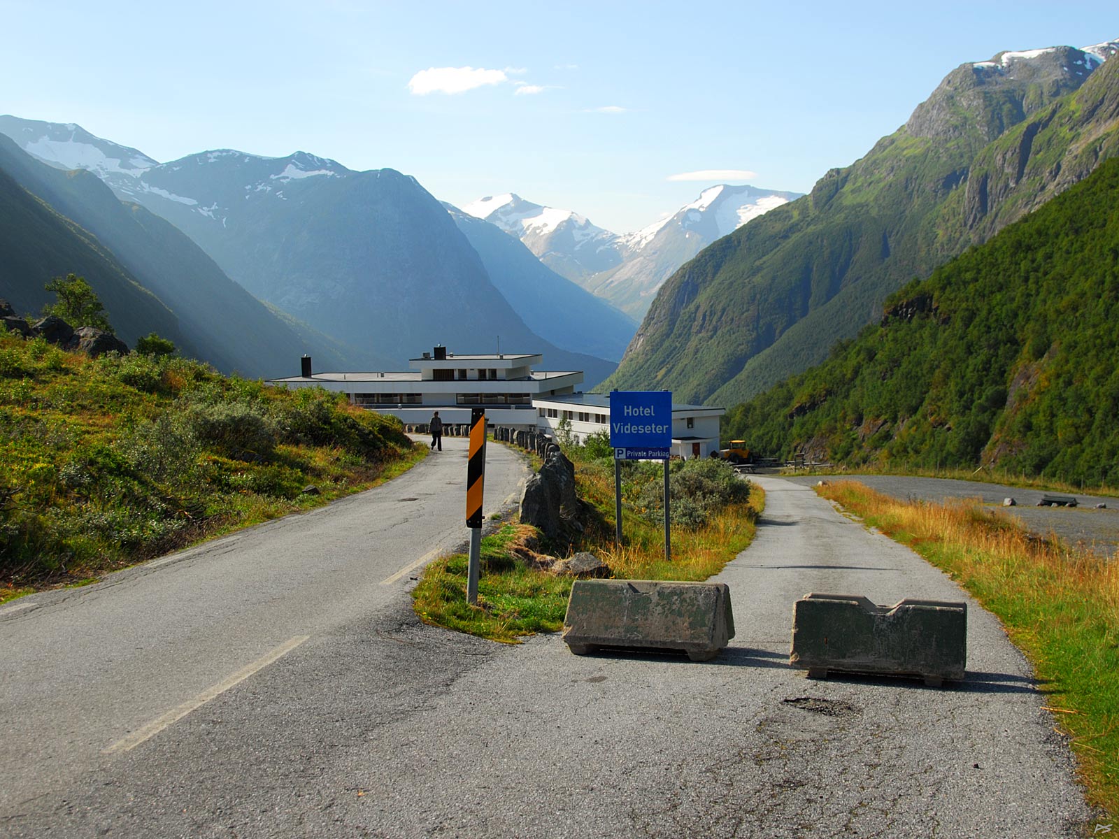
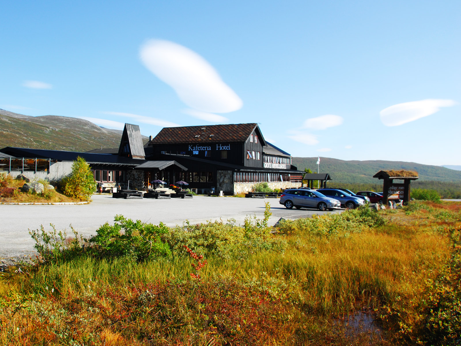
Near the Videseter Hotel, which is closed for the winter. The blocked road enters the main road again just passed the hotel. It is supposed to make the parking for the hotel and the waterfall viewpoint accessible, but unfortunately the present owner insist that all visitors shall pay for the parking, and when everybody has left the hotel, that's of course a terrible problem.
(2015-09-11)
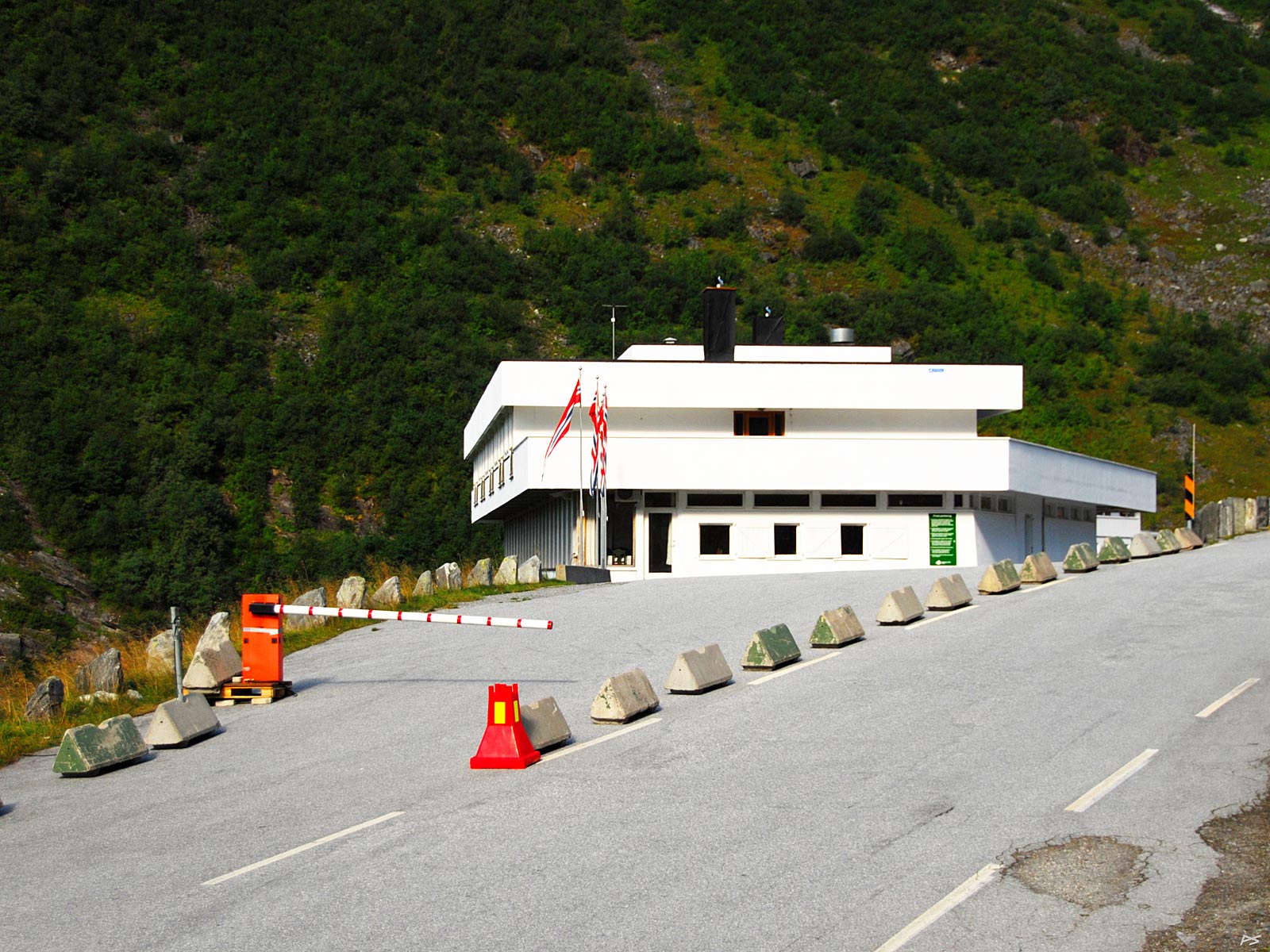
Videseter Hotel and a solution to a terrible problem.
(2015-09-11)
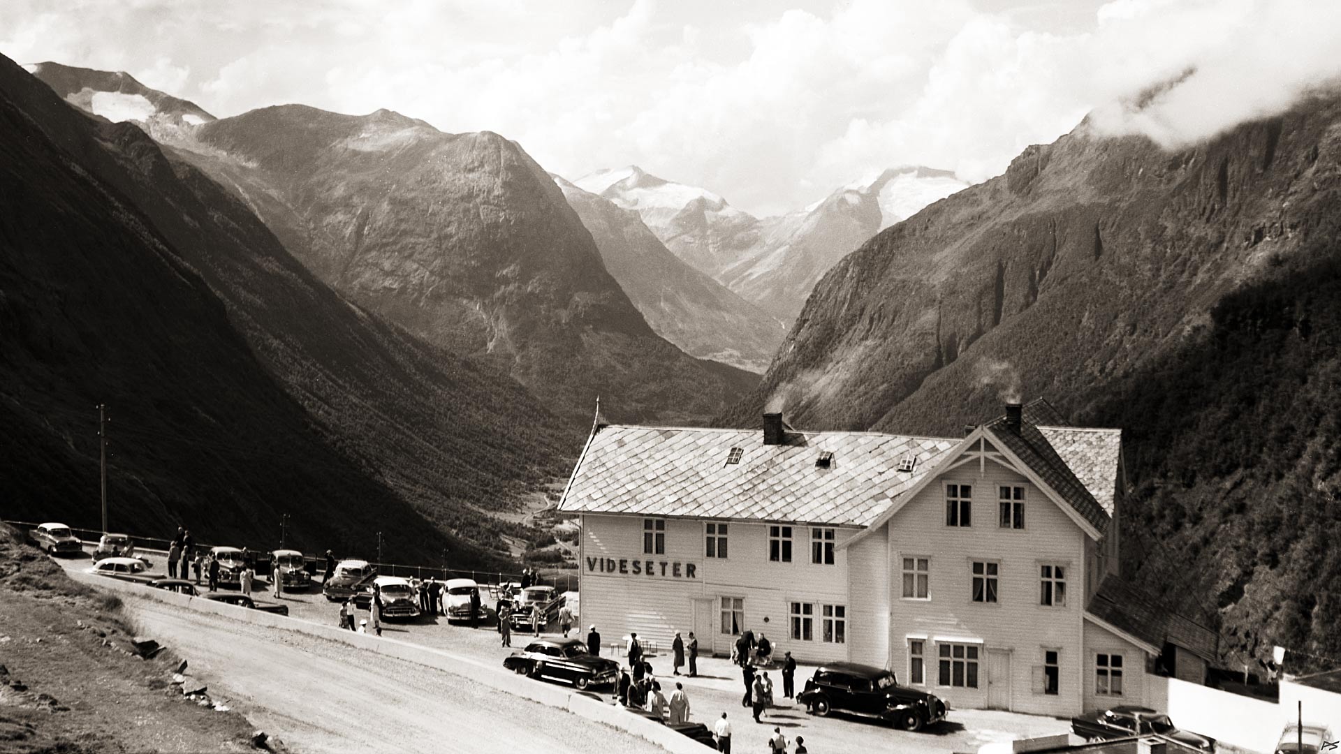
The old Videseter Hotel in 1960. The building was acquired from the road authorities in 1930 by Lars Skaare who created a friendly hotel. It has always been open only during a few summer months. Most of its income it has got from serving lunch to boat tourist who were bussed from a harbour in Stryn to Geiranger. This year, 1960, the daughter of Lars Skaare and her husband had just taken over, and the next winter a snow avalanche damaged the wooden building. After that it was replaced by a concrete building. The year 2000 a new owner took over and the friendliness left.
(1960)
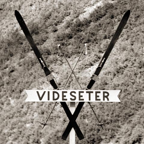
North of Videseter, closer the top of the old Stryn Mountain Road, alpine skiing contests in summer has been arranged since 1937, and Videseter Hotel could advertise itself as a summer ski resort. The picture shows a pair of cross country skis (which I found in the shed), preferred by some. In 1972 a ski centre was built on the site, and later ski lifts have been added. Still Videseter Hotel was the main accommodation, but some time after a new owner took over the hotel, the ski centre ceased recommending it. For many years the summer skiing season has been getting shorter for lack of snow, and there have been summers when skiing here wasn't possible at all.
(1960)
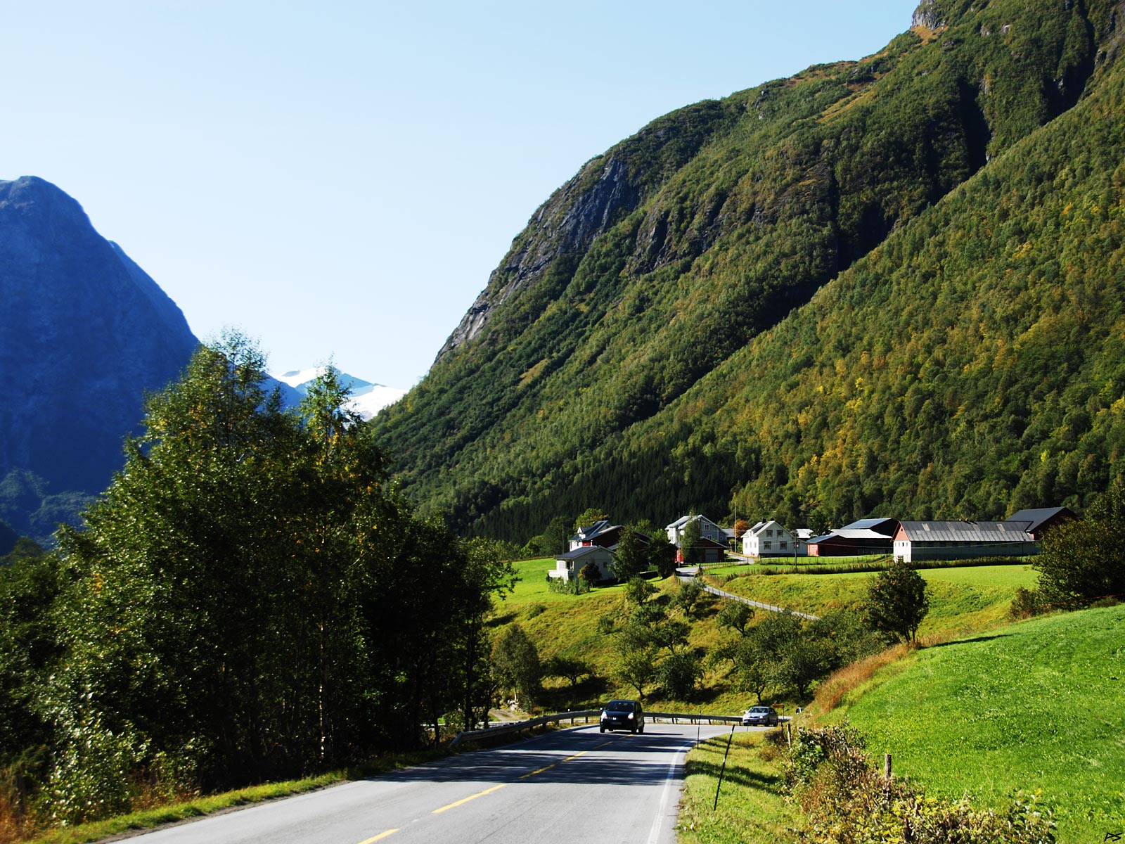
Near the end of the descent from Videseter and the "new" Stryn Mountain Road, lies Skåre where good old Lars Skaare lived. This is a village consisting of houses belonging to several farms, which is very rare in this country. This is because it's snow avalanche country and this is the only place in the vicinity considered safe.
(2008-09-12)
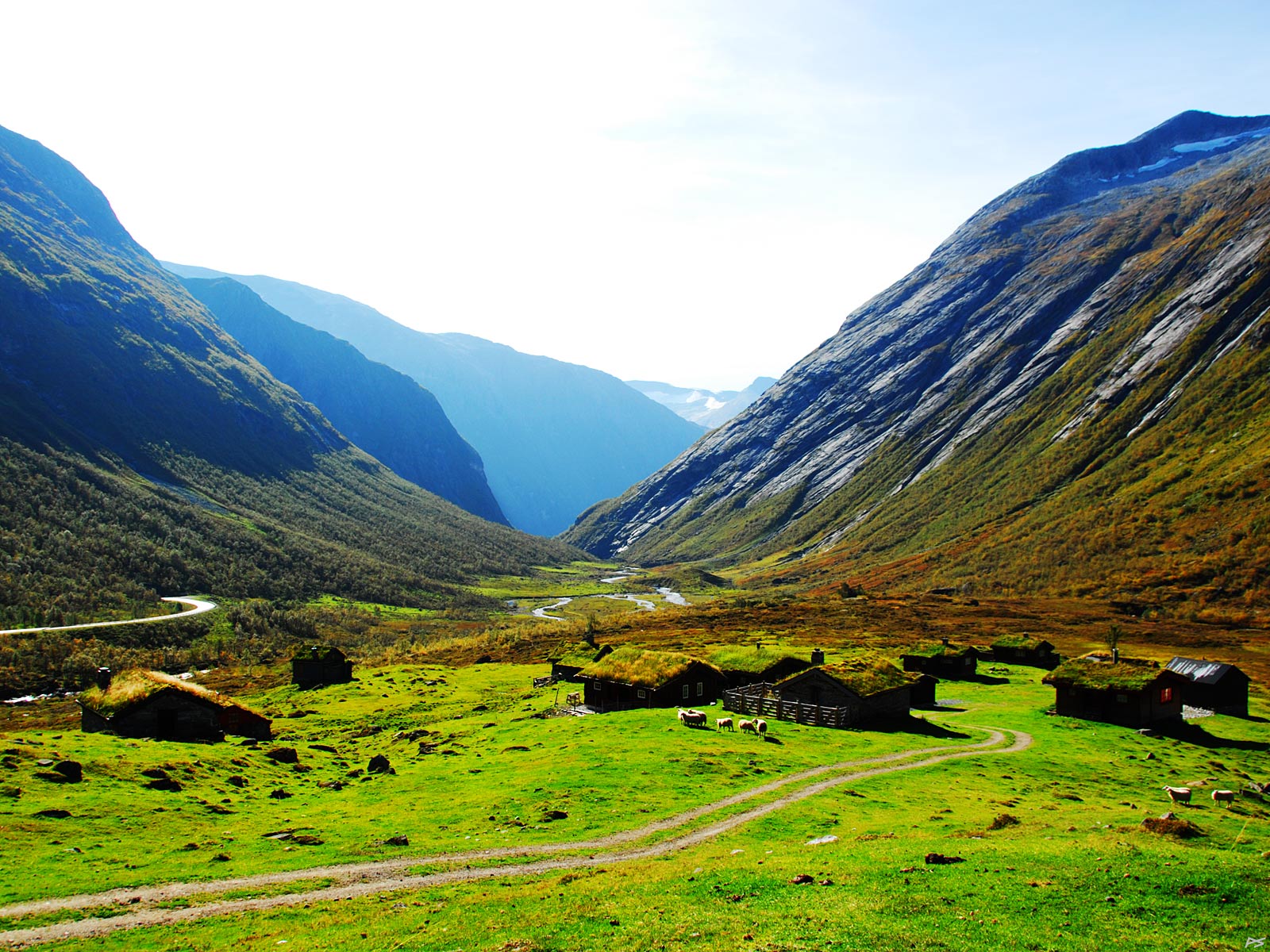
Let's drive 4‐5 kilometres back and take the other Stryn Mountain Road, the so-called "new" road (1978). This is serious avalanche area, and the road runs through three tunnels. This is Skjerdingsdalssetra, the Skjerdingsdalen summer dairy, between the two first tunnels, now used as vacation cabins. The rich pasture, which may have been used for five hundred years, is still used, and the animals are transported on trucks through the tunnel. But that was after the new road was built.
(2014-09-15)
One would assume that in the old days the shortest way for the cattle would be up the valley, but this is a V valley with very steep sides and nothing but the brook in its bottom. So they herded the cattle up the next valley to the west, spent the night in its upper end, and the next day they guided the cattle over the ridge between the two valleys. That meant climbing to 1340 metres and crossing a glacier with crevices where an animal sometimes got killed. The name of the glacier (or what now remains of it) is Nautbreen, "the Cattle Glacier". In the autumn of 1851, when herding the cattle back home, they were hit by a snowstorm on the glacier and ten pregnant cows perished. The next year a path was blasted out of the steep side of the valley to make the short route possible, clearly visible in this picture.
(2008-09-12)
The new path was rather narrow, and sometimes an animal would end up dead down in the inaccessible brook. In 1936 they got an allowance from the government to widen the road. Now it can be recommended for a hike, from Jøl ("Gorge") Bridge up to the former summer dairy, or for the lazy ones, the downhill way. Make sure that all snow has disappeared and avoid rainy days. These are treacherous mountain that may shed rocks, especially when wet.
(2003-09-11)
Grassdalen (the Grass Valley) seen from Skjerdingsdalssetra. A kilometre up the valley is the site of a snow avalanche research project. You may distinguish a track down from the right side of the valley, ending in a heap of earth. That's the track of the Ryggfonna avalanche and an experimental stopper.
(2015-09-11)
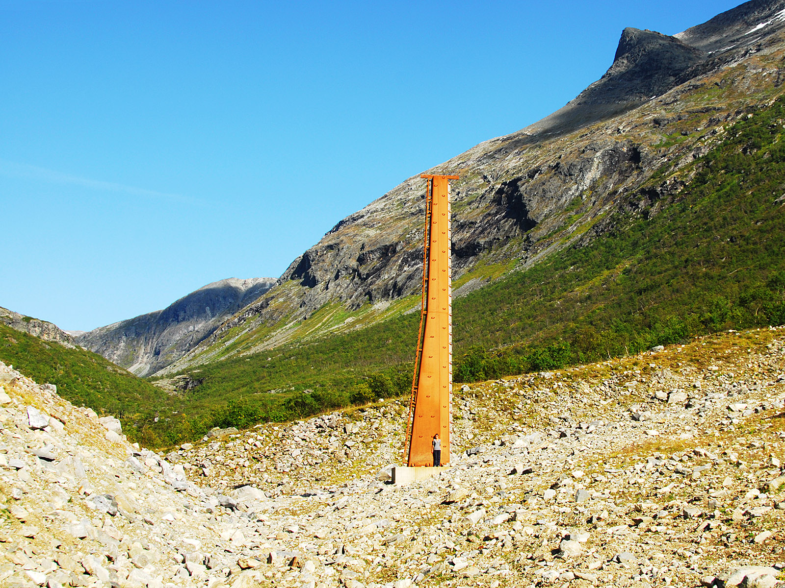
A closer look at the research site. In summer, some nine hundred vertical metres up on the right valley side, explosives are placed where the snowdrift forms. This steel mast is supposed to stand in the middle of the avalanche released by a detonation under the snowdrift. The side of the 15 metres mast facing the avalanche is full of sensors. On the top of the earth heap to the left stands a lower mast, and low on the opposite valley side stands something that is probably a Doppler radar to measure the speed of then avalanche. A long time ago, maybe 30 years, I helped those guys out with a simple optic contraption to measure the density of the avalanche. They then used a wooden mast, and the avalanche got too big and the mast was swept away. After they had retrieved the equipment in spring, they sent me that item for repair. It wasn't damaged, but the external electric wires seemed to have been shaved off. In later years too little snow has accumulated here to make a new run possible, but after waiting ten years, the researchers could set off a big avalanche on 11 April 2021.
(2015-09-11)

The Stryn coat of arms