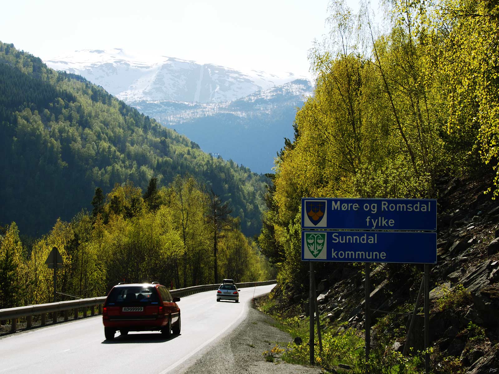
An aluminium plant, two hydroelectric power plants, high mountains...
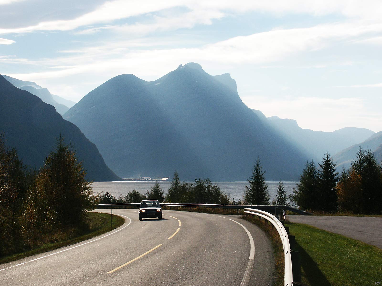
Sunndalsøra is the administrative centre of Sunndal. Driving towards this centre from west, on the north side of the fjord, we can discern the smoke from the aluminium plant. To the left of the mountain in front we find the valley Sunndalen with the river Driva. To the right lays the valley Litjdalen. Often Sunndalsøra may experience strong winds coming down either of these two valleys, and in the public school the children are taught what to do when a snow avalanche comes roaring down (lay face down). But it often gets warm here, sometimes because of föhn, and spring comes early. Some people doesn't like living between fifteen hundred metres high rock walls.
This used to be the road to Sunndal from west. Although the major part of it was protected in three tunnels, it was rather dangerous because of snow avalanches in winter and rockslides in summer. In 2014 it was replaced by a 7430 meter tunnel, and parents sending their children there with the school bus could finally relax. The west entrance is 1½ km behind the camera. This spot will still be accessible, because there are people living just around the bend.
(2005-10-07)
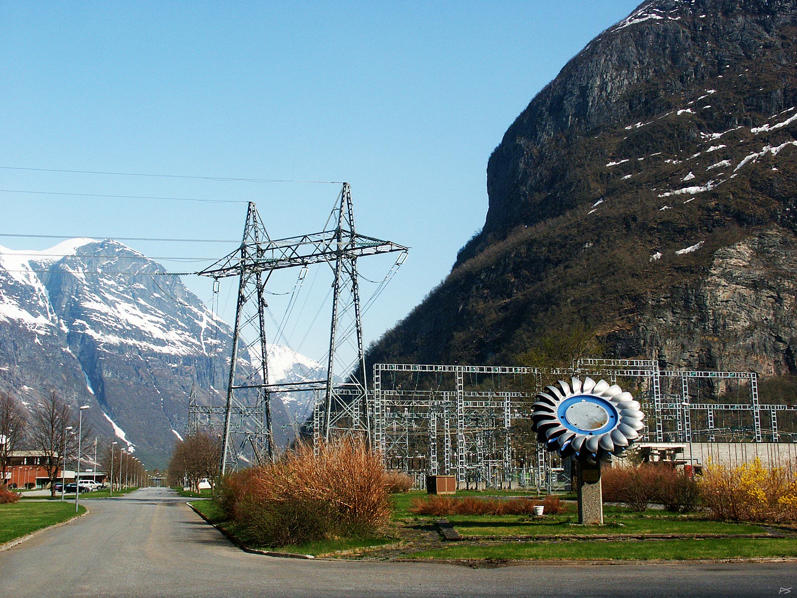
In front of the hydroelectric power plant on Sunndalsøra. With some high voltage stuff and the inevitable Pelton turbine wheel on display (they sometimes have to be replaced anyway). The power plant is inside the cliff, as most of our power plants are. Power production started in 1953, although this Aura project started in 1913. Most of the work was done after 1947, in the mountains south of Sunndalsøra at altitudes around 800 meter, still with maximum size pickaxes, crowbars, spades and wheelbarrows.
(2006-05-04)
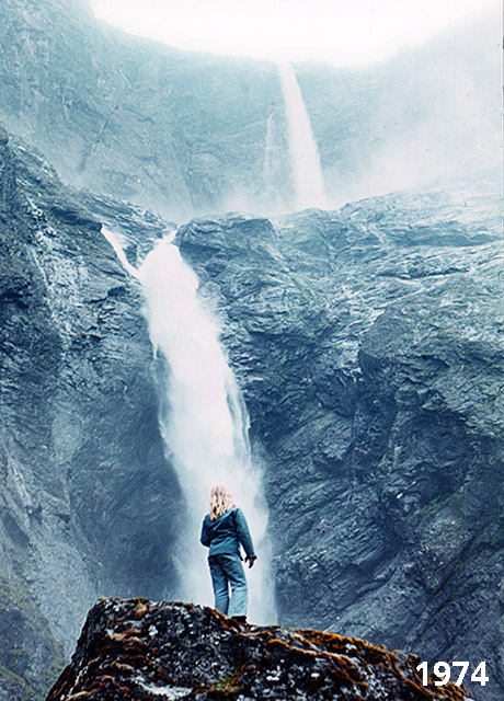
During the building of dams, canals and tunnels for the power plant, a rough road was built from Sunndalsøra to Eikesdalen, some 70 kilometres. It is open to the public during the summer. You start by driving up Litjdalen – direction right ahead in the picture above – preferably with a car having a roof hatch (to see the mountains). If bad roads and the lack of safety rails doesn't scare you, have a nice trip across the mountain. Don't bring a caravan though. In Eikesdalen (in former Nesset, now Molde), be sure to visit Mardalsfossen, one of the highest waterfalls; claimed heights vary a lot. Between June 20. and August 20 it is permitted to show its beauty, releasing 3 m3/s and making you soaking wet if you approach it. The picture to the left was taken shortly before Mardalsfossen was harnessed.
|
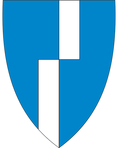
| former Nesset coat of arms |
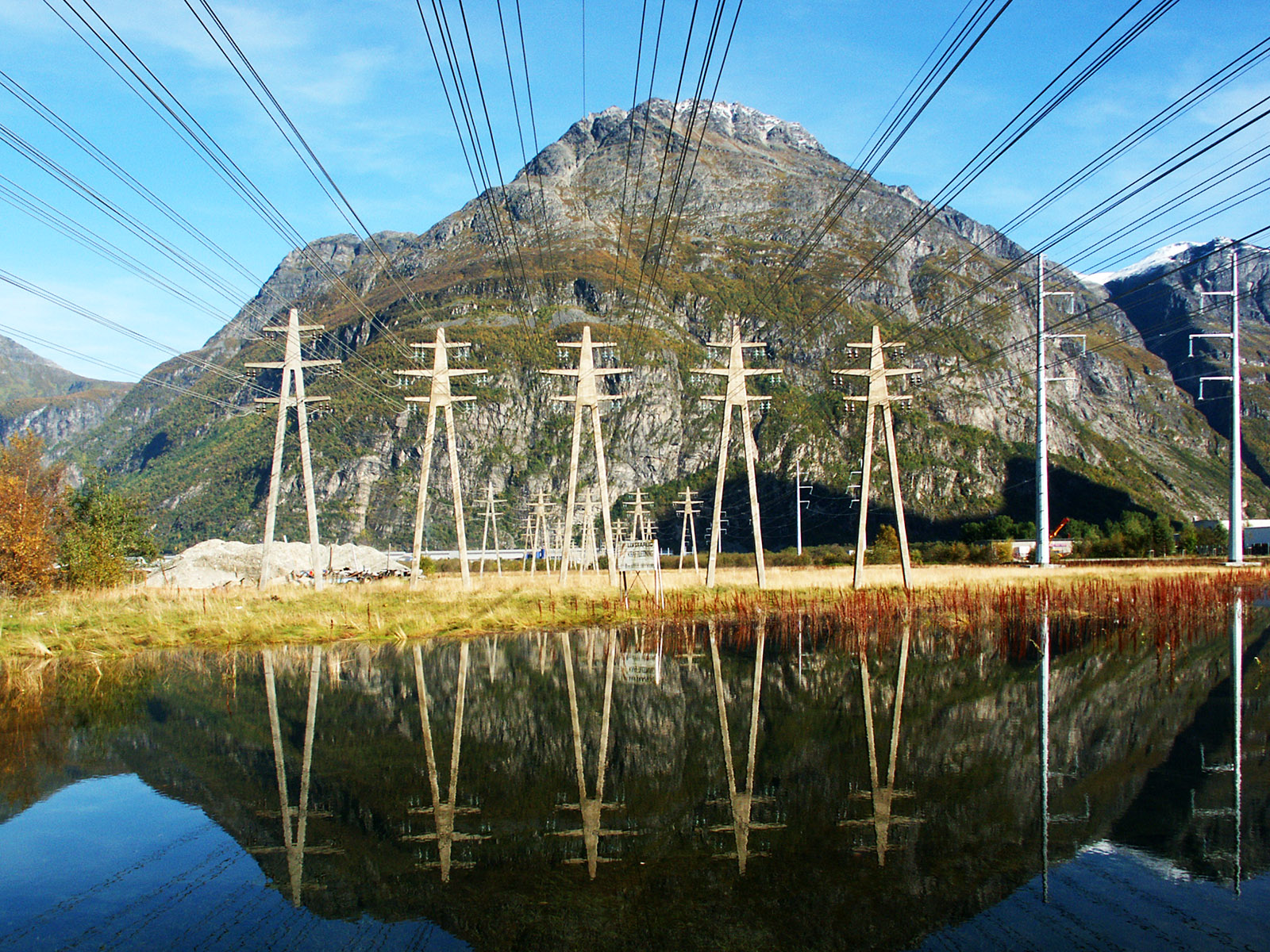
An aluminium plant began production the year after the power plant and was the major reason for building the latter. Aluminium is produced by electrolysis of bauxite and aluminium oxide and it uses an enormous amount of energy. Here the plant gets high current at relatively low voltage directly from the power plant about 2½ kilometres away. The current is rectified and goes through all the cells on one side of a hall and back on the other side. Current carrying rails between cells get a high magnetic field around them, so when walking about with pliers and screwdrivers in the pockets, they might suddenly jump up and disappear under the floor. As a student I worked there for two months and had to demagnetize my watch twice, but that was sixty years ago when all watches were mechanic.
(2004-09-30)
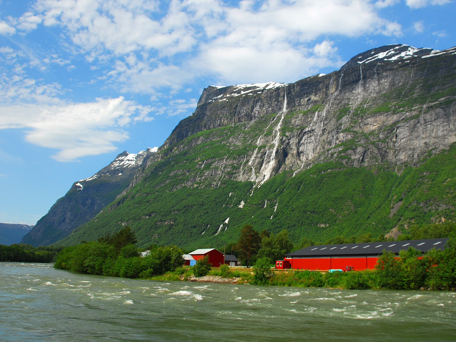
About 6 kilometre up the valley Sunndalen, on its north side, you'll find the Vinnu fall, at 865 metres it is the highest waterfall in Europe. The water flow isn't that impressive, coming essentially from melting of the Vinnu glacier and snow. Close to the camera flows the Driva river. It looks like snow is still melting in the mountains.
(2015-07-02)
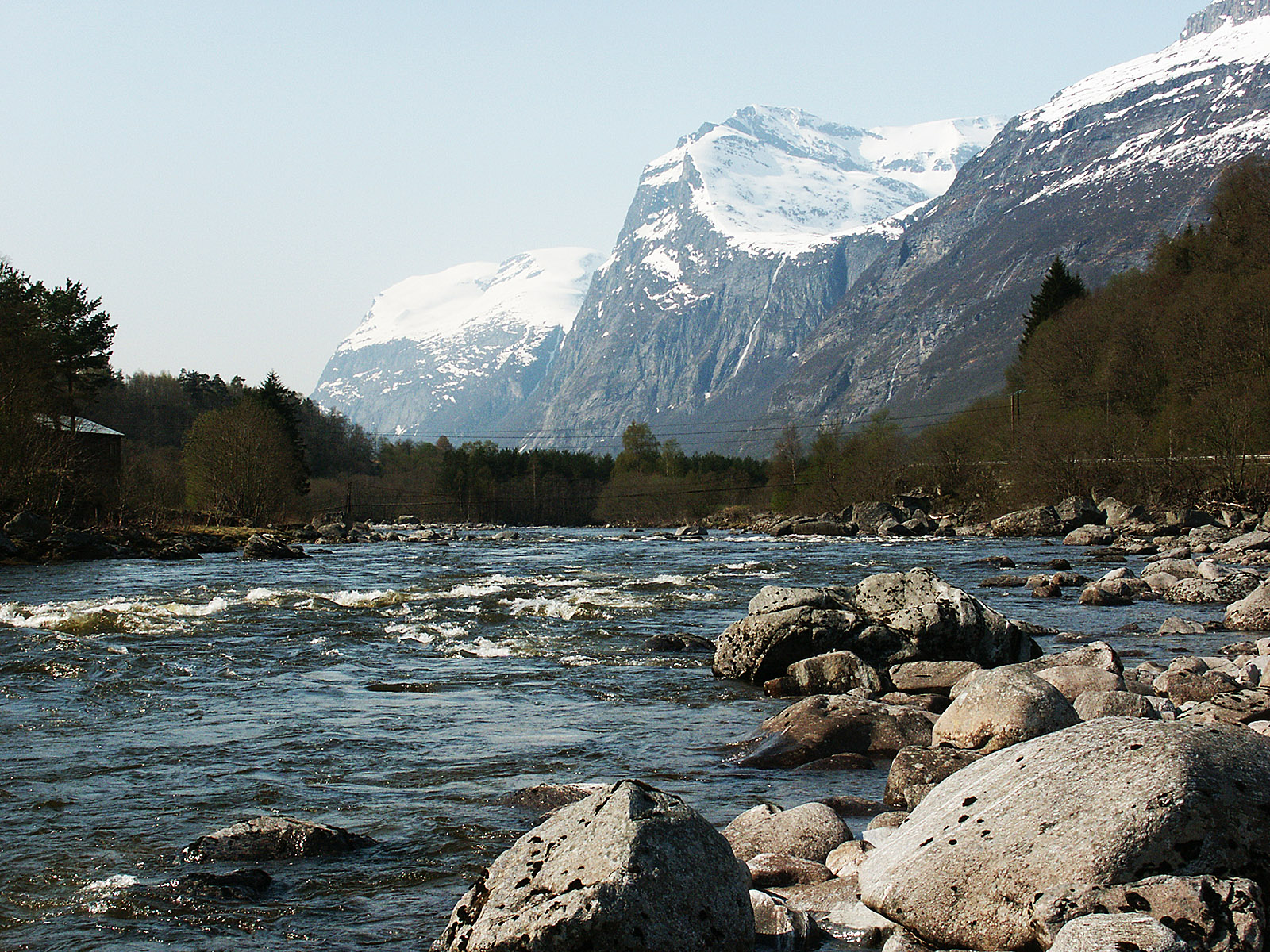
Looking down the river Driva further up the valley. Salmon come up here from the ocean to spawn. The battle against the salmon parasite Gyrodactylus salaris has been going on for many years, and in the meantime the problem with escaped farmed salmon interbreed with the local variant has increased. The Driva power plant is situated a kilometre ahead. In spite of the name it doesn't get its water from the river, but from a "gutter" water collecting system in the mountain area to the north, called Trollheimen. There you may find several brooks disappearing through a grating into a hole in the ground, and no other signs of human activity in the vicinity.
(2006-05-04)
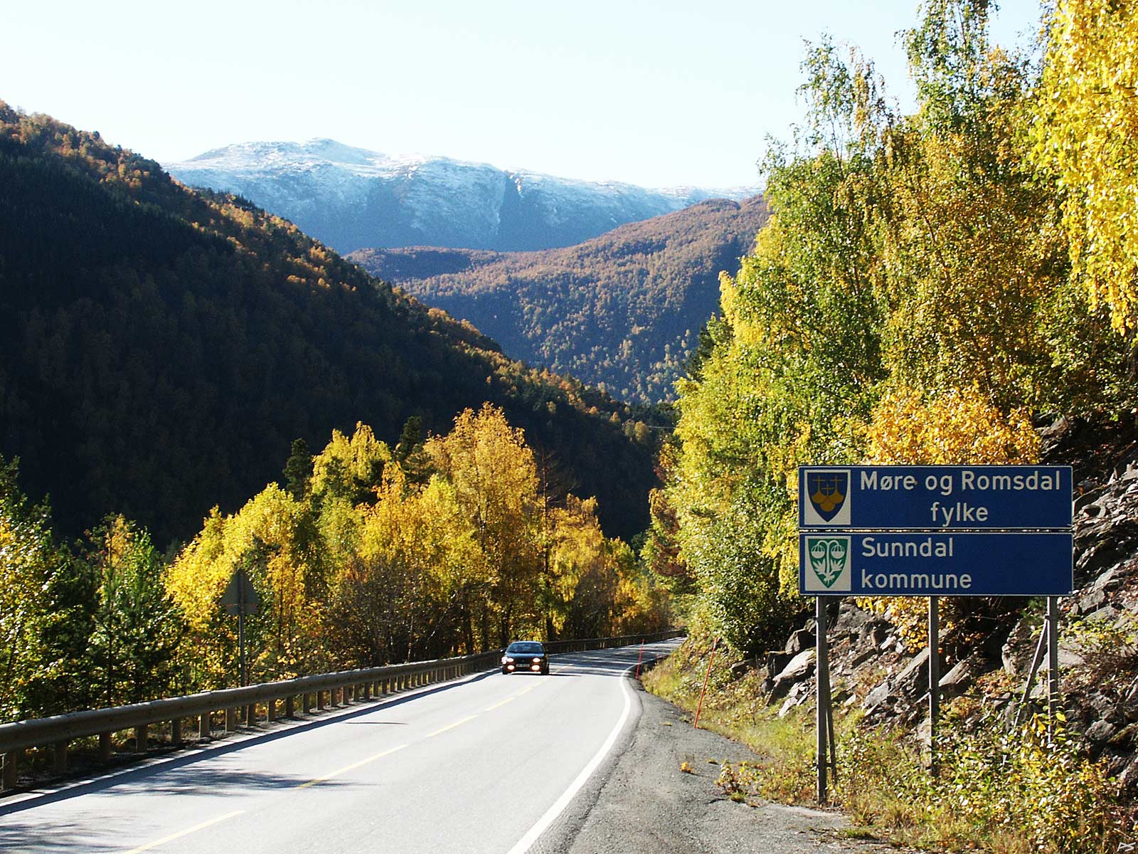
Entering Sunndal from the east – autumn 2007
(2007-09-27)
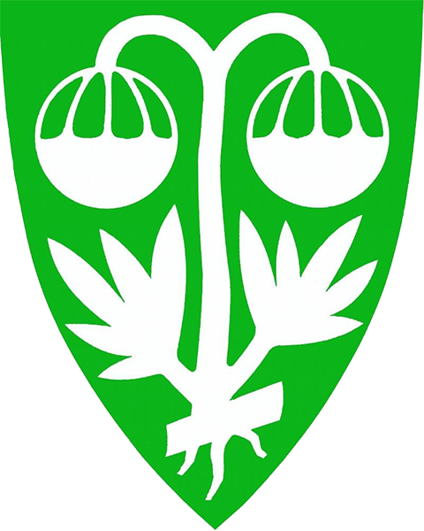
The Sunndal coat of arms
(Artemisia norwegica)

